HedgehogCycling.co.uk
Yorkshire cycling website

Harrogate, Burnt Yates, Shaw Mills road cycling route
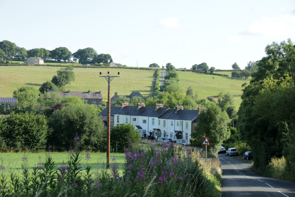
Shaw Mills, by Hedgehog Cycling
This is a 20-mile road cycling route starting in Harrogate, and making a loop in the countryside north of the town. It begins on the Nidderdale Greenway to Ripley, then takes the Hollybank Lane extension to Clint. After that, there are quiet, country lanes in picturesque farmland to the New Inn at Burnt Yates, on down to Shaw Mills, then up to Bishop Thornton. The route continues down Scarah Bank, and on a short stretch of the busier B6165 to get back to Ripley. The Nidderdale Greenway leads back to Harrogate.
This is my preferred short road cycling route from Harrogate, because there's a minimum of hassle from motorised traffic. The ride avoids the busy roads around Harrogate by taking the Nidderdale Greenway out of town. Depending on the day and time, you may have to slow down frequently for other Greenway users, but you can use it as a gentle warm-up on the way out, and an opportunity to ease off on the way back. Beyond the Greenway, the roads are genuinely quiet, apart from Scarah Bank and the B6165. It's lovely countryside, and there are a couple of short, sharp hills - enough to get the legs, heart, and lungs working.
Harrogate, Burnt Yates, Shaw Mills road cycling route: map
This is a Google map of the route:
There's also an OpenStreetMap of the route.
Harrogate, Burnt Yates, Shaw Mills road cycling route: route description and photos
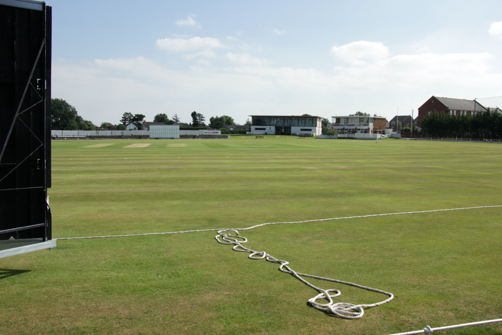
Harrogate Cricket Club, by Hedgehog Cycling
I've taken Harrogate Cricket Club as the start of the route. Starting from there, you can get to the Nidderdale Greenway via St George's Road, South Drive, St James' Drive, Slingsby Walk, Granby Road, and Claro Road. This is covered in Getting to the Nidderdale Greenway, on Hedgehog's Nidderdale Greenway guide.
The Nidderdale Greenway takes you over the river Nidd on the Nidd Viaduct, and on to Ripley. You cycle through the car park in Ripley, and turn left on Main Street. After a short distance, you see the Boar's Head pub ahead, and you turn left. Here, Ripley church is on your left, and Ripley Castle to the right. Continue straight on over a few cobbles and past a gate, onto Hollybank Lane. This is a shared use path for walking and cycling.
Hollybank Lane soon crosses Ripley Beck, and here there's a nice view of Ripley Lakes and Ripley Castle, to the right.
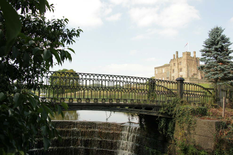
Ripley Lakes and Ripley Castle from Hollybank Lane, by Hedgehog Cycling
Further along Hollybank Lane, at the end of the shared use path, there's another gate. Beyond the gate, there's a single-track road with a very badly potholed tarmac surface. The lane goes sharply uphill before ending at the junction with Clint Bank Lane.
Turn right on Cint Bank Lane. Looking left (south), there are views of the wind turbines on Knabs Ridge.
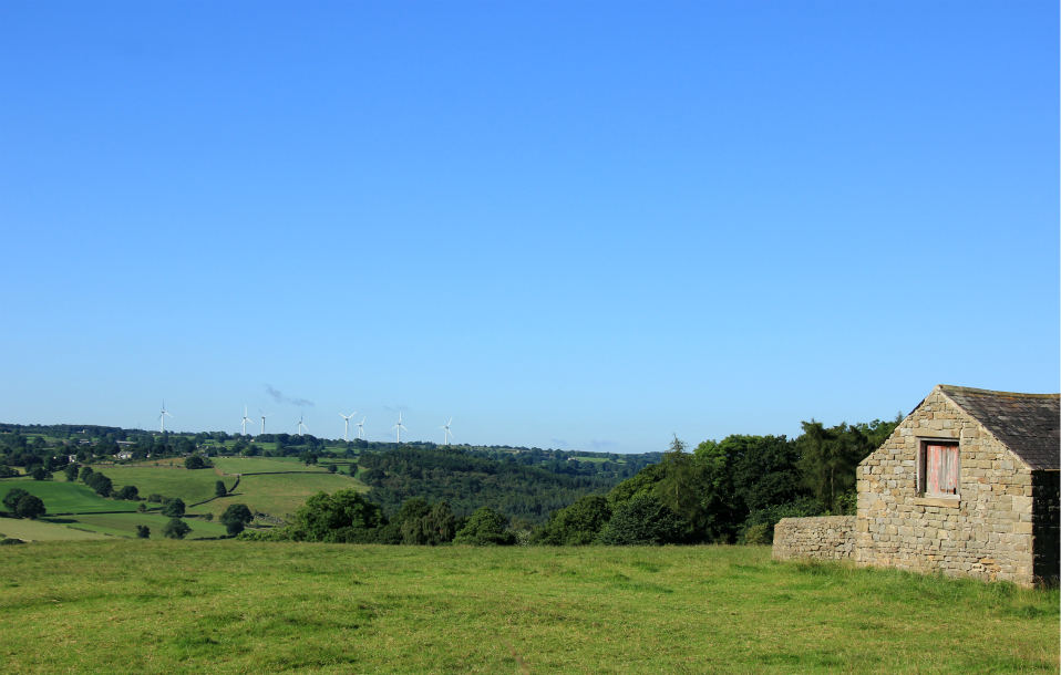
Knabs Ridge wind turbines seen from Clint, by Hedgehog Cycling
Clint Cross and Stocks
The houses on your right belong to the hamlet of Clint. Also on the right is Clint Cross and Stocks. (The information which follows comes from the listed buildings website, and may raise more questions than it answers!) This curiosity dates from Medieval times, and later. What remains is the cross base, with a square socket on a stepped plinth. The name 'Palliser' is carved on the top step, and 'the tailor' on the step below. William Palliser was a former stonemason who had a shop in Parliament Street, Harrogate, around 1890. The stocks have two stone shafts; the wooden cross-piece with two leg-holes was added in 1962. The Cross and Stocks were relocated here by Harrogate Round Table.
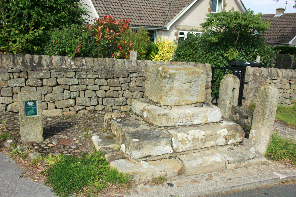
Clint Cross and Stocks, by Hedgehog Cycling
At a T-junction a little further on, turn right up Clint Bank. There are cattle in the fields, and the stone buildings to the left are Clint House Farm. At the top of the hill, the height is 161m, about 100m higher than Ripley.
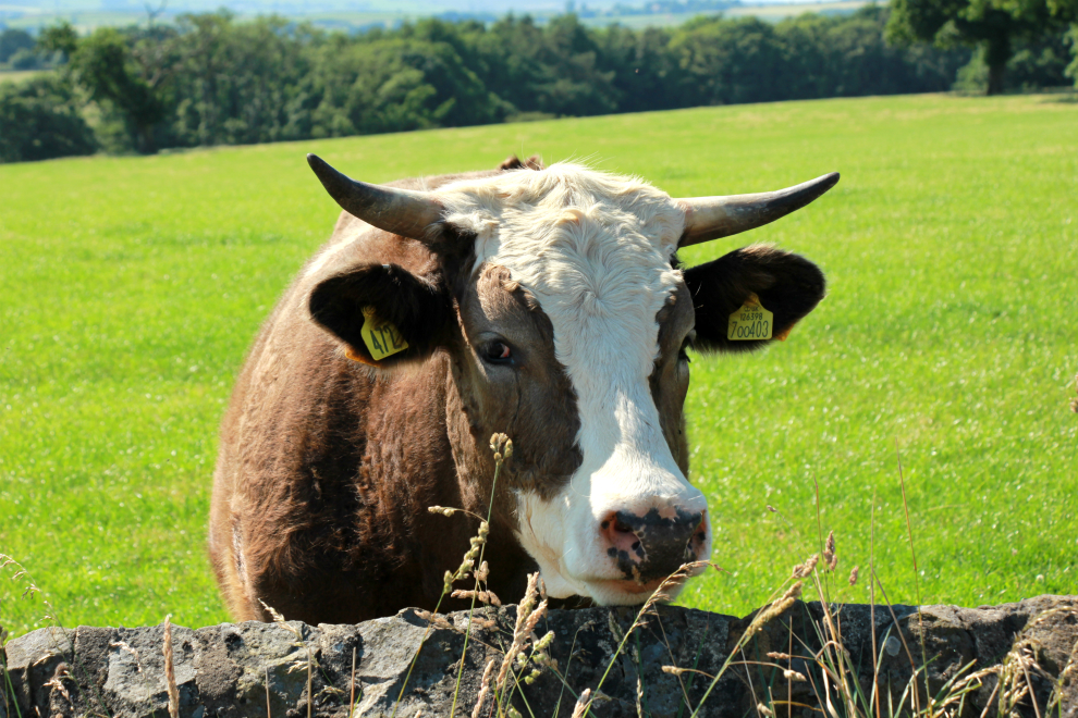
Cow at Clint House Farm, by Hedgehog Cycling
Next, there's a crossroads (the junction with the B6165), where the New Inn stands. This is part of Burnt Yates, although the main village is a little further west.
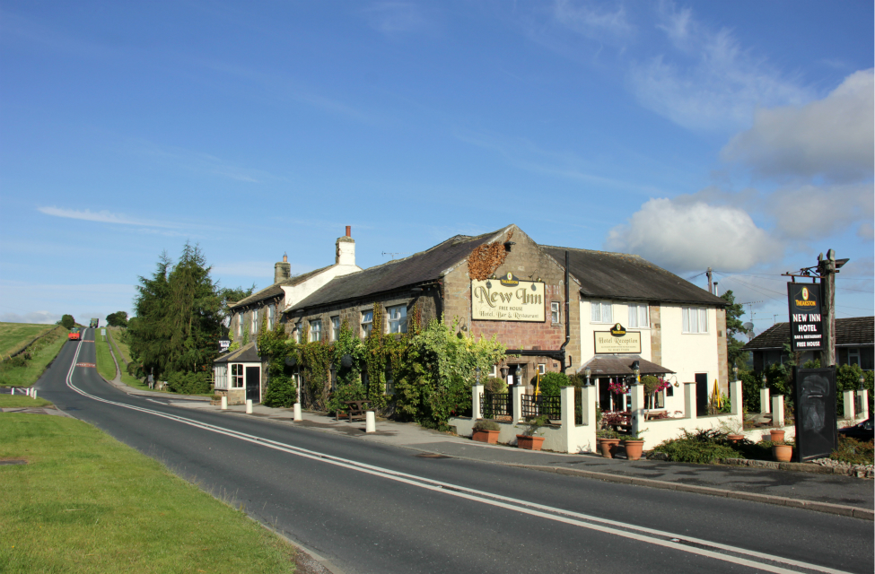
The New Inn, Burnt Yates, and the B6165, by Hedgehog Cycling
Go straight across the B6165, on Pye Lane, which descends gradually for about a mile to Shaw Mills.

The descent on Pye Lane to Shaw Mills, by Hedgehog Cycling
After you pass the Shaw Mills sign, the road bends left. There are parked cars, and you can't always see if there's oncoming traffic, so you have to be careful. The road then bends sharp right, and a narrow bridge takes you over Thornton Beck.
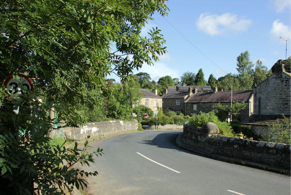
Bridge in Shaw Mills, by Hedgehog Cycling
Shaw Mills
Shaw Mills probably gets its name from a corn mill kept by Robert Shaw in the 1500s. The High Mill and the Low Mill closed around 1861, were restarted for silk spinning in 1890, then closed again soon after World War I. Many of the houses in Shaw Mills now have solar panels on their south-facing rooves. The former Methodist chapel and schoolroom has been converted into a dwelling.
The road bends left by the converted chapel, and as you come round the corner, you begin the steep climb of Mill Bank. At the top of the climb is the junction with Cut Throat Lane.
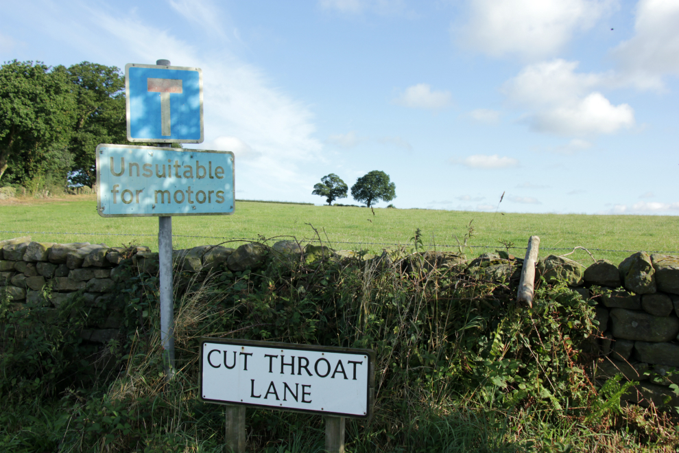
Cut Throat Lane, by Hedgehog Cycling
There's a tight bend in the hamlet of Hardgate. A tree-lined road (where, mysteriously, it always sounds as though a car is coming up behind you, even when there isn't one) takes you on to Bishop Thornton.
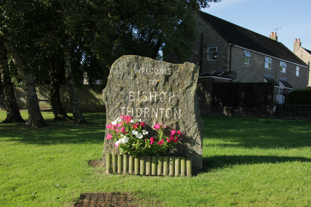
Bishop Thornton, by Hedgehog Cycling
At the crossroads after Bishop Thornton, turn right on Hebden Bank, which goes past Oakwood Park Business Centre. There is significantly more traffic on this road than on those taken up to now. The road becomes Scarah Bank, and goes downhill to meet the B6165. Turn left towards Ripley.
The mile or so on the B6165 is the busiest part of this route. The road bends, rises, and bends again; drivers can't always see if there's oncoming traffic, but many of them overtake anyway, just leaving less room, and squeezing you even more if it turns out that there are oncoming vehicles.
At the roundabout, take the third exit, Ripley Main Street, which brings you to the car park, and the Ripley end of the Nidderdale Greenway; follow the Greenway back to Harrogate.
If you start and finish at the Cricket Club in Harrogate, this ride is almost exactly 20 miles.
Beryl Burton cycleway
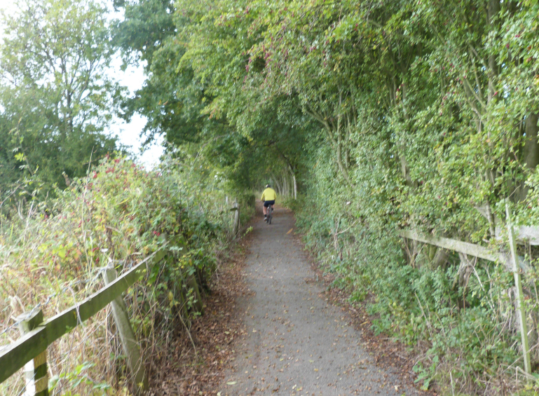
The Beryl Burton cycleway is a traffic-free cycle and foot path between Bilton Village Farm and the Nidd at High Bridge, Knaresborough.
Read about the Beryl
Burton cycleway.
Fewston, Beecroft, & Timble bike trail
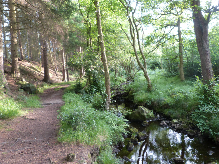
Yorkshire Water has created a bike trail near Fewston
reservoir. It
runs from Swinsty Moor Plantation car park, through Beecroft Moor
Plantation, across Rue's Lane, and up to Timble Woods; round a loop
in
Timble Woods, down Rue's Lane, and back through Beecroft Moor
Plantation to the car park. Read aboutthe Fewston,
Beecroft,
Timble woods, & Swinsty bike trail.


© 2016 HedgehogCycling
Template
design by Andreas
Viklund