Cycling in Yorkshire

Cycling in Yorkshire

Updated 28th February 2022
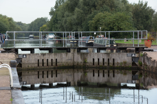
Stage 2 of the Sustrans Slow Tour of Yorkshire is from Garforth via RSPB St Aidan's to Woodlesford Lock.
It's not spectacular, but perfectly pleasant. It's probably one to do if you live locally, rather than travelling a long way for. (The towpath past Woodlesford Lock is also a good route into Leeds, used by commuters).
The path is surfaced with crushed limestone for much of the way - in theory. In practice, whereas a sealed surface stays clean, crushed limestone accumulates a thick coat of mud. If you ride this route in Winter, you will get very muddy. I recommend a mountain bike.
Distance: 7 miles each
way, so 14 miles there and back
Time: around 50 minutes each way, so 1h40 in total
The map shows the route from Garforth to Woodlesford in yellow.
This is the ride on Plotaroute; you can download a navigation file from there.
This is the Sustrans leaflet for the Garforth to Woodlesford ride.

The route starts on a tarmacked path, which passes the back gardens of some houses. It soon goes under the A63, and changes to crushed limestone/mud. This is the Linesway.
An information board further along tells you that it is the route of the old Garforth to Castleford railway (1878 to 1969), and another suggests wildlife that you might see.

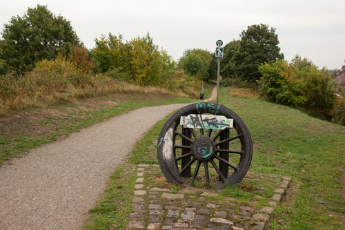
You pass Townclose Hills (or Billy Wood) Nature Reserve on your left. Continue to a junction near Owl Wood, where there's a wagon wheel (not the chocolate biscuit). Turn right here.
You cross a road at Woodend. There are a lot of tight A-frames all along this ride, but Woodend wins the prize for its four-in-a-row. To skip two of them, take the little road that runs parallel with the path.


Soon after crossing the road at Woodend you reach a junction in the path, where you can go left (signed for Lowther Lake). Here you're on the edge of RSPB St Aidan's Nature Reserve.
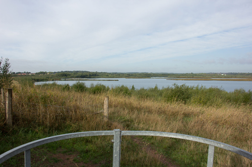

RSPB St Aidan's has a number of lakes and reedbeds near the river Aire. Ducks such as wigeon and teal visit the lakes in Winter, and bitterns and bearded tits are among the birds you could see in the reeds.
There's also an area of rough grassland called the Hillside, where you can look out for birds of prey like kestrels and buzzards.
The path takes you to the river Aire, which you cross on Caroline Bridge.
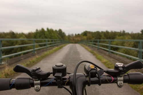
Turn right at the other end of the bridge. The path now follows the river Aire, which is to your right; in Winter 2022, this is the muddiest part of the ride.
For a while, the railway is to your left. You reach Lemonroyd Marina.

After passing the marina, you're on the towpath of the Aire & Calder Navigation (effectively a branch of the river Aire).
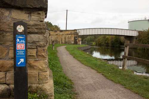
The Aire & Calder Navigation widens out.

The towpath takes you under the A642 at Woodlesford, then you reach Woodlesford Lock.
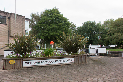
Plenty of canal boats moor here.
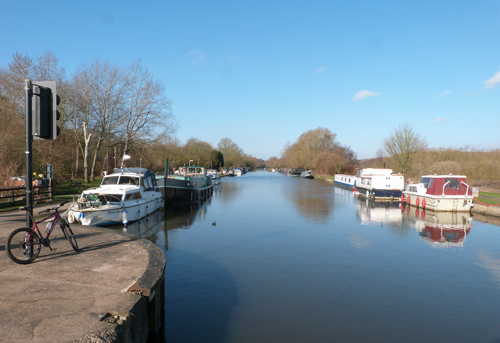
There's a tap, which will be useful if your water bottle needs filling up.

It's possible to cross to the other side of the Aire & Calder Navigation via Pottery Lane/Aberford Road, then to cross back on Fleet Lane. That would make the very first part of the return route different from the way out.
Other than that, return the way you came.
This is an enjoyable ride. The main issues are the mud and the tight A-frame barriers.

I'm sure crushed limestone looks good in the brochure, but if there's no maintenance - and clearly there isn't - it gathers mud. What should be an easy, family-friendly route turns into a muddy mountain bike ride.
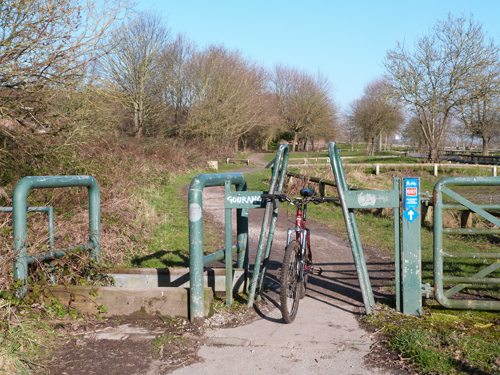
I counted ten A-frame barriers along the route, all of them set tight. It was a struggle to squeeze my handlebars and shoulders through them. Worse, they exclude some people - for example someone using a trike as a mobility aid, or a cargo bike.
These barriers are almost certainly illegal under the Equalities Act.
Have you done this bike ride? What did you think of it?
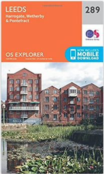
The Garforth to Woodlesford Lock ride is covered by the 1:25,000 OS Explorer map of Leeds.
Bike Rides In and Around York features a historical city tour, plus family rides, road rides, and mountain bike rides.
"This book is simply a treasure trove not only of great rides but also as a travel guide to the area."
Read more about Bike Rides In and Around York.

Bike Rides in Harrogate and Nidderdale is a book of family, mountain and road bike rides.
"This guide is a wonderful companion whether you ride alone, with family or friends. Don't set out without it."
Read more about Bike Rides in Harrogate and Nidderdale.