HedgehogCycling.co.uk
Yorkshire cycling website

Nidderdale Greenway extension to Pateley Bridge
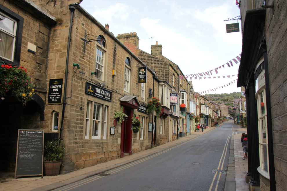
High Street, Pateley Bridge, by Hedgehog Cycling
The Nidderdale Greenway has been spectacularly popular since it opened in 2013 - with people on bikes, on foot, and some on horses.
It is built on the trackbed of a dismantled railway, and if you open up an Ordnance Survey map, you see that the railway didn't just travel the 4 miles between Harrogate and Ripley. It continued from Ripley north to Ripon (part of the Leeds & Thirsk railway), and another branch (the Nidd Valley railway) carried trains west to Pateley Bridge.
How fantastic would it be for the Nidderdale Greenway to continue to Ripon and Pateley Bridge? It would open up lots of new cycling possibilities. The more likely route to be created soon is an extension to Pateley Bridge.
Nidderdale Greenway extension to Pateley Bridge
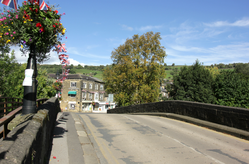
The bridge in Pateley Bridge, by Hedgehog Cycling
At the moment, it is tricky to get from Harrogate to Pateley Bridge by bike. The obvious route is the B6165, but it's unpleasant to ride because of the traffic. There are a lot of fast-moving vehicles, and as the road is fairly narrow, with bends, rises, and dips, inevitably some drivers pass too fast and too close. Unless it's 6 o'clock on a Sunday morning, it'll be an ordeal.
If you plan carefully, there are quieter roads you can use for most of the way, but they are less direct, and involve steep hills.
The old railway went on a flat route by the river Nidd. The Nidd Valley railway was a 14-mile single track branch line, which opened in May 1862, and had intermediate stations at Killinghall (called Ripley Valley), Birstwith, Dacre, and Darley. It carried passengers until March 1951, and stayed open as a goods line until October 1964. Between 1907 and 1937, an extension called the Nidd Valley Light Railway carried men and materials beyond Pateley Bridge to the construction sites of Angram and Scar House reservoirs.
Turntables in Pateley Bridge were used to turn train engines around; one turntable has now been turned into a work of art.
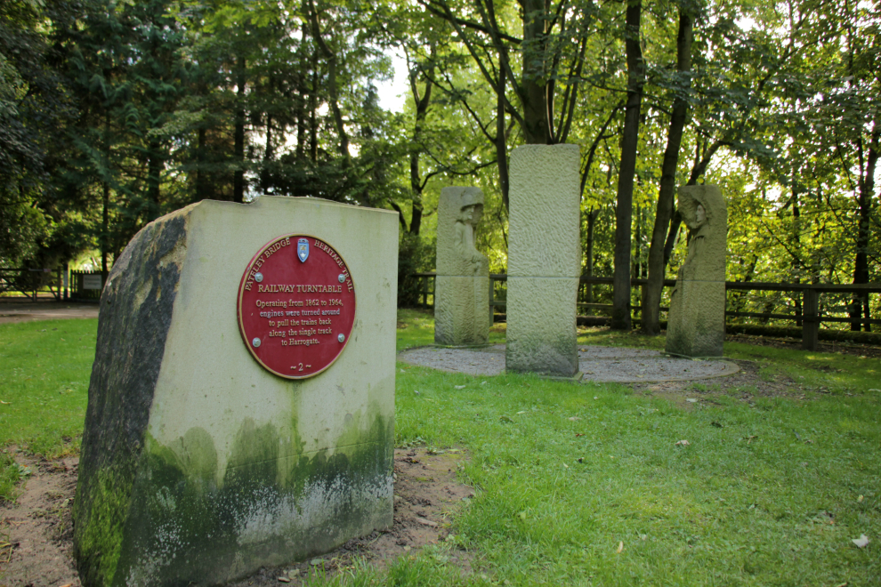
Railway turntable, Pateley Bridge, by Hedgehog Cycling
The railway trackbed by the Nidd is a much better cycling route than any of the alternatives. It would also be traffic-free, making it a very attractive way of reaching Pateley Bridge. From Pateley, you can extend your ride on quiet roads to Gouthwaite and Leighton reservoirs.
The extension of the Nidderdale Greenway to Pateley Bridge is one of the 'major schemes' identified in the Harrogate & district Cycling Delivery Plan.
Nidderdale Greenway extension to Ripon
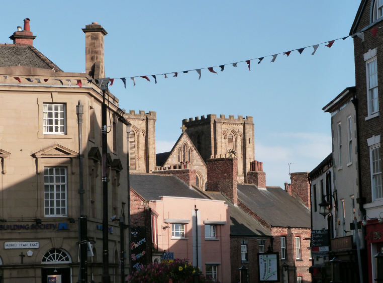
The main road between Harrogate and Ripon is the A61. I wouldn't consider riding my bike along it - unless it was made traffic-free, as on the day of Stage 1 of the 2014 Tour de France. There are other routes between Harrogate and Ripon on quieter roads, which are very enjoyable, but significantly less direct.
The Leeds & Thirsk Railway Company (later Leeds Northern Railway, LNR, then North Eastern Railway after a merger with other companies) built the line from Starbeck to Ripon, as part of its Leeds to Stockton route. It opened in 1848, and carried passengers until 1967, with goods transported until 1969.
A walking and cycling route on the old railway trackbed would be a brilliant leisure route. At just over 12 miles, it could be used for cycle commuting between Harrogate and Ripon, and certainly for utility journeys, from the villages along the way, to Harrogate or Ripon.
Ripon City Plan
A draft Ripon City Plan dated March 2018 discusses extending the Greenway to Ripon. The report notes that the Harrogate & District Local Infrastructure Delivery Plan contains proposals to complete National Cycle Network (NCN) Route 67: 'Issues for Ripon: there is potential for new routes as follows: Harrogate to Ripon. Isolated small development sites make it harder to plan for cycle infrastructure delivery.'
According to the report (paragraph 6.2.9), the implications of this for cycling are: 'Completing NCN Route 67 between Leeds and Northallerton through Harrogate, Ripon, and Masham would stimulate tourism, and promoting Ripon as a hub for the second NCN route to cross the District, the Way of the Roses, from Bridlington to Morecambe through Boroughbridge, Ripon and Pateley Bridge, would similarly stimulate visitors.'
The potential benefits of these cycle routes are mentioned in the report (paragraph 6.3.8): 'Extending the Sustrans path from Ripley to Ripon to link with the NCN Route 67 between Leeds and Northallerton would stimulate tourism and promote Ripon as a hub for the NCN in the District, especially as the the Way of the Roses already passes through the City. Ripon is close to half-way on the popular Way of the Roses coast2coast cycle route, and is connected to Harrogate via Fountains Abbey and Ripley Castle on Route 67 of the NCN. The City Plan team asked Sustrans to submit a proposal for an in-depth look at realising the town's potential to become a top cycling town in Yorkshire, both in terms of local connectivity for everyday journeys, and high-quality links with outlying destinations such as Fountains Abbey.'
Why extend the Nidderdale Greenway?
Why do it? To create quality facilities for utility and leisure cycling.
Utility cycling
It's now obvious that everyone going everywhere by car doesn't work. We've ended up with constant traffic queues (especially in the town of Harrogate), and polluted air which fails to meet safety standards. A lot of people would like an alternative, involving active travel which improves our health. Most people don't want to cycle in traffic, because they're afraid of being run over, and are intimidated by big vehicles and close passes.
Although the Harrogate-Ripley Nidderdale Greenway is mainly a leisure route, some people do commute along it. A path between Harrogate and Ripon would provide an alternative to driving along the busy A61. A Nidd Valley path would allow people living in the villages along the river to cycle to Pateley Bridge (or Harrogate) for school, shopping, or work; and it would certainly take more visitors to Pateley.
Leisure cycling
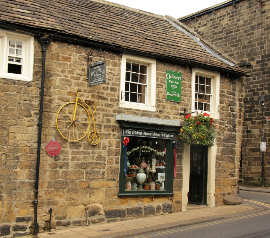
England's oldest sweet shop, Pateley Bridge, by Hedgehog Cycling
Leisure travel has an economic benefit, especially given that 25% of the Harrogate district's economy is tourism and visitors. Pateley Bridge has a lot of cafés, pubs, and shops, which rely on the tourist economy. The town already attracts walkers and cyclists (for example, people riding the Way of the Roses route). Extending the Nidderdale Greenway to Pateley Bridge would bring lots more visitors to the town: the Nidderdale Greenway and Pateley Bridge are a perfect match.
Apart from economic justifications, there's an intrinsic benefit to providing a facility which will allow people to get out and enjoy lovely countryside. And, when you see that lots of younger children are learning to ride bikes on the Nidderdale Greenway between Harrogate and Ripley, it makes sense to provide a longer route which they can move on to when they are a bit older: a new challenge, to get all they way to Pateley Bridge, but still a safe, family bike ride.
What do you think about these ideas? Leave a comment!
Beryl Burton cycleway
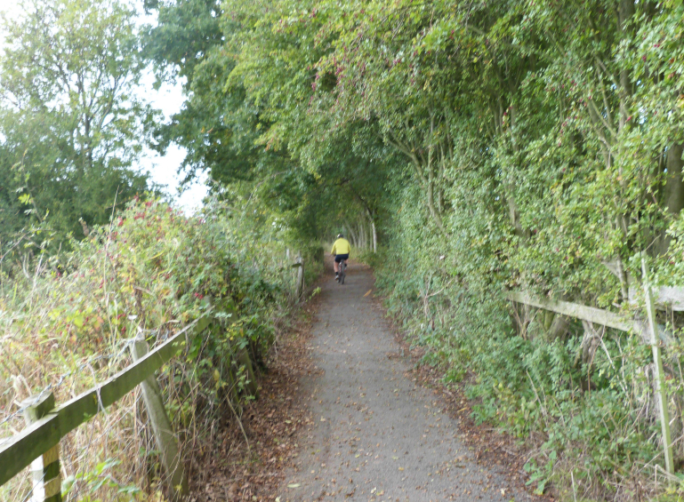
The Beryl Burton cycleway is a traffic-free cycle and foot path between Bilton Village Farm and the Nidd at High Bridge, Knaresborough.
Read about the Beryl Burton
cycleway.
The Nidderdale Greenway
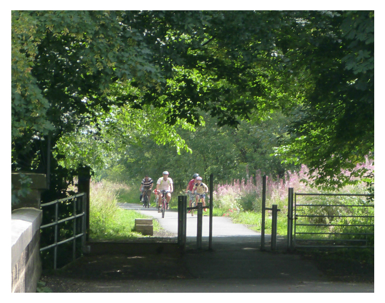
The Nidderdale Greenway is the best cycleway in Harrogate, and goes about 4 miles to Ripley. It may eventually be extended as far as Pateley Bridge. It follows the route of a dismantled railway (the Leeds to Northallerton railway, which closed in 1969), so it's largely flat. The official opening was on 25th May 2013.
Sustrans worked on the route for about 15 years, before it was realised. They have produced a leaflet/guide to it.
The route is shared by cyclists, walkers (including dog walkers), and joggers. This means all users have to be considerate to others, so that it can be shared without friction.
We have map of the route, photos and descriptions, a guide to Ripley, advice on how to get to the Nidderdale Greenway, a video, and suggestions for improvements to the route.
Read more about the Nidderdale Greenway.


© 2016-18 HedgehogCycling
Template design by Andreas
Viklund