Slingsby Walk
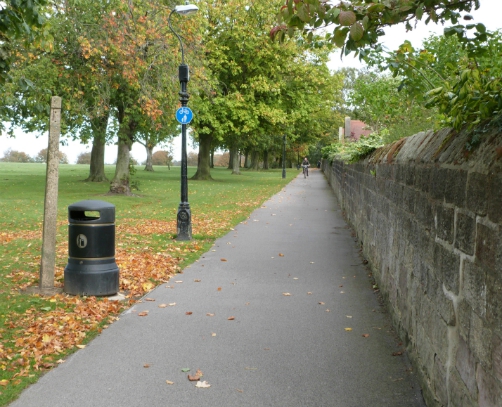
Slingsby Walk is a shared use cycle and foot path across the Stray. This is a very useful route, which allows cyclists to avoid some busy roads. Because it's shared with pedestrians, it's essential to cycle in a considerate and respectful way, making sure to slow down well before passing walkers, so they feel safe.
Slingsby Walk is named after Sir William Slingsby, who discovered the first natural spring in Harrogate - the Tewit Well. (Read about the history of Harrogate as a spa town).
Slingsby Walk: map
The map below shows Slingsby Walk:

Slingsby Walk: route notes
To get to Slingsby Walk from south Harrogate, follow the route shown on the map above: from the Leeds Road, ride down South Drive/St James Drive. These are quiet roads, and good for cycling. When you arrive at The Stray, turn right on the path which becomes Slingsby Walk, signed Showground, Spofforth, and Wetherby (see photo below).
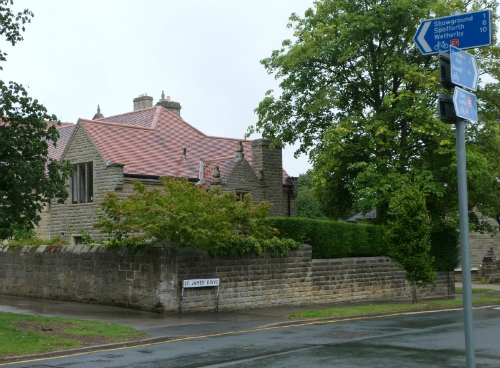
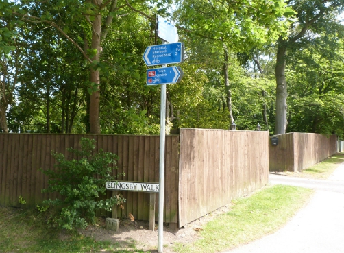
The route crosses Oatlands Drive, where there are some new signs for people on bikes (see photo below). Oatlands Drive can be busy and difficult to cross, and a crossing is needed here - ideally a Parallel Crossing with zebra for people on foot and a cycle crossing next to it.
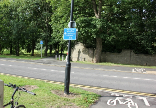
Following Slingsby Walk, the next junction is with the Wetherby Road. Again, it can be very busy and difficult to cross. There should be a Parallel pedestrian and cycle crossing here, the zebra-type not light-controlled. There are now directional signs at the junction with Wetherby Road (added in early 2015), to Harrogate Hospital, Claro Road, and Starbeck, although the signing to Knaresborough runs out here.
Slingsby Walk: end of the route at Knaresborough Road
Cyclists then arrive at the A59 Knaresborough Road. In early 2015, the 'cyclists dismount' sign was taken down (hooray!) and directional signs were added (see photo below) - to Claro Road, town centre, and Starbeck (but not to Knaresborough).
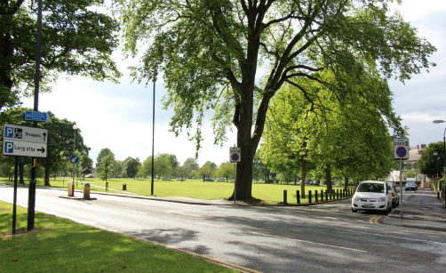
Slingsby Walk: further routes from Knaresborough Road
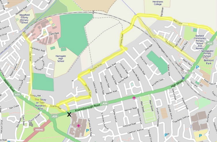
You can get to the Nidderdale Greenway via Granby Road and Claro Road (highlighted in yellow on the map below).
To get to Knaresborough, cyclists can take the Nidderdale Greenway, then Bilton Lane; or take the A59 (no cycle provision, but it may be on its way, see the Cycling Delivery Plan).
To get to Starbeck by bike, you can either take the A59 (no cycle provision), or take the back roads highlighted in yellow on this map (Willaston Rd, Silverfields Rd, Lynton Gardens, Birstwith Rd, Kingsley Drive & Kingsley Rd), then either use the cycle path on the old railway line to The Avenue, or take Bogs Lane. Blue cycling signs now indicate the back street route to Starbeck.
Slingsby Walk: suggestions for improvements
My two main suggestions for this route are:
1) Install a Parallel Crossing (zebra plus cycle crossing) at Oatlands Drive and Wetherby Rd.
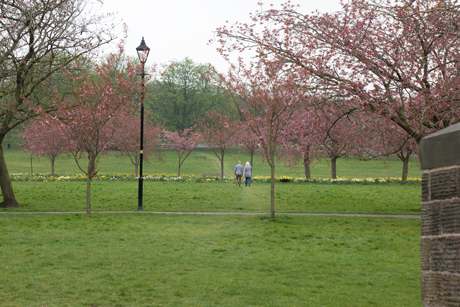
2) Provide another option at the western end of Slingsby Walk - a cycle path over the second railway bridge and across the Stray to the Prince of Wales roundabout. I've drawn it in green on the main Slingsby Walk map at the top of this page. The desire line is easy to see in the photo below.
Do you have any more comments or suggestions?